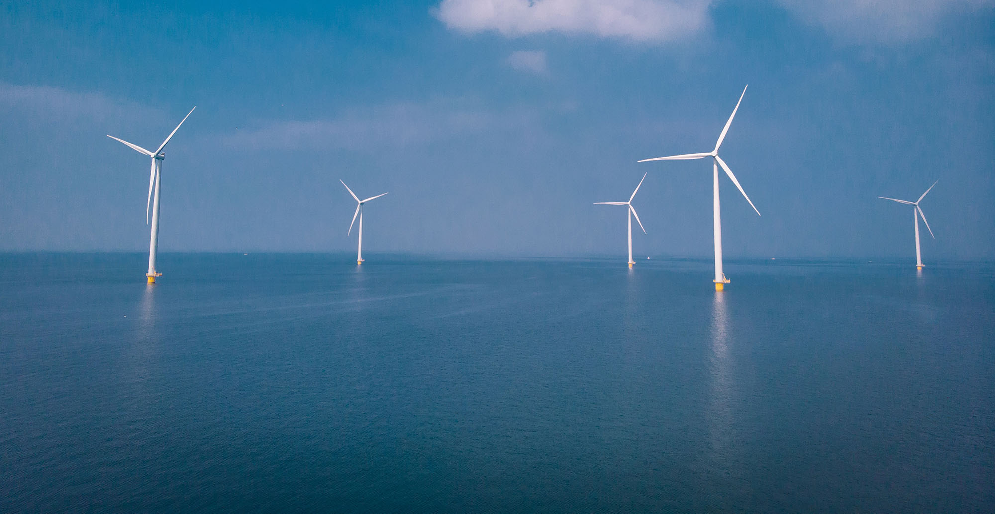
Energia will shortly carry out geotechnical surveys off the coast of Co. Wexford and south Co. Wicklow. The information gathered during these investigations will help identify and refine a suitable location for the proposed South Irish Sea wind farm.
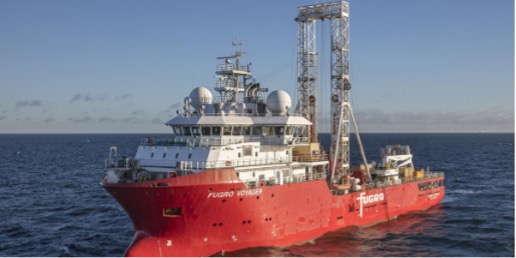
The geotechnical surveys will happen between the start of August and the end of September 2022, weather permitting. The survey vessel is the Fugro Voyager (9V3888).
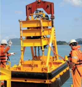
Cone Penetration Testing (CPT)
CPT is used to determine the properties of the seabed up to 30 m below the surface. A CPT rig (shown in Figure 2) will be lowered to the seabed where a conical tip will then be pushed into the seabed at a constant speed until it meets resistance.
Boreholes
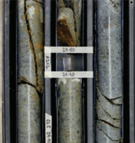
A borehole is a method of investigation which involves recovering seabed samples. From the samples, the composition of the seabed is determined. The boreholes will be left to backfill naturally.
Purpose of the surveys
These geotechnical surveys will provide important information on the seabed conditions to determine suitable locations for wind turbines within the survey area and to determine suitable foundation designs.
Mark O’Reilly – Fisheries Liaison Officer (FLO):
Phone: 021 2031005
Email: flo@southirishseawind.ie
Aiveen Finn – Community Liaison Officer (CLO):
Phone: 087 183 7452
Email: info@southirishseawind.ie
For coordinates and maps please see Marine Notice No. 48 of 2022
 Offshore Stakeholder and Communications Manager (087) 199 0637